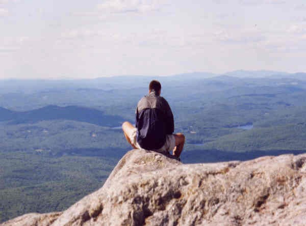
"People who like this sort of thing will find this the sort of thing they like." (Lincoln)
| |
| No more classes, no more books, no more students' dirty looks |
|
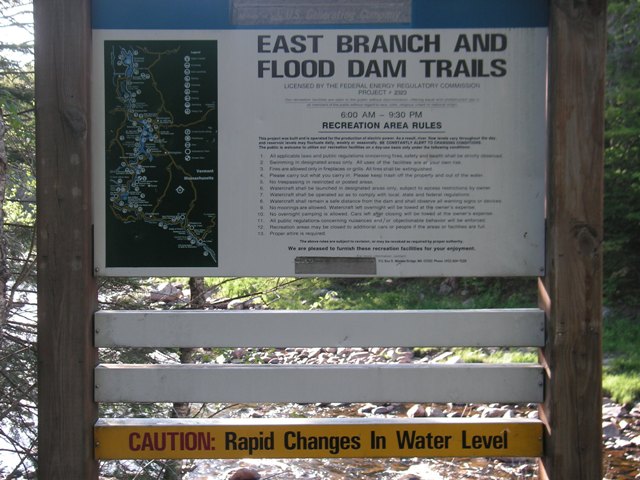
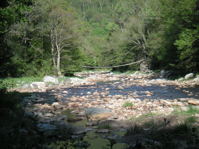
29 May: Flood Dam Trail
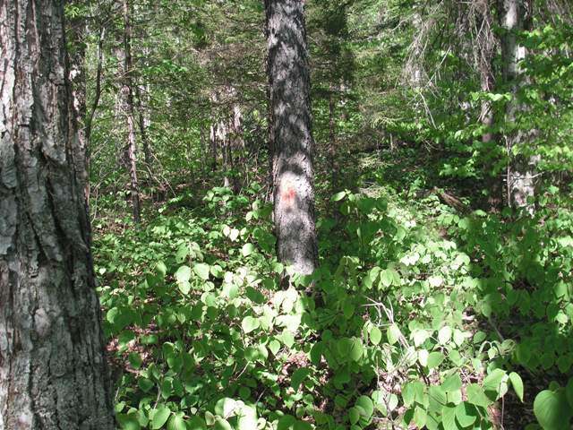
This is not the kind of thing I like: The Flood Dam Trail, on the other side of the bridge, is only sporadically blazed and needs serious brushing in some places as well as removal of some blowdowns. If you take some care, however, you can discern the trail. For about two miles, that is. A little after stonestepping over a small stream, the trail disappears. That orange blaze (image below) shows that this is the trail but where the trail goes from here, I do not know. I had no clue as to which way to go. Actually, I did know where to go. Back. Which I did, having had a nice enough time and having nourished many blood-sucking bugs, including one tick.
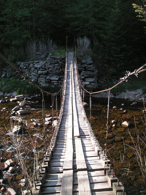
As I neared the trailhead and the swinging bridge, I lost the trail. Knowing that the Deerfield River was to my right, I decided (perhaps unwisely) not to retrace my steps to pick up the trail again, but instead to bushwhack to the right, keeping near to the river where I should be able to find the bridge. After a while, I got nervous that I might overshoot the bridge, in which case I'd be bushwhacking my way about 2 miles down to Rte 9. (And it was just at this moment that my son, Jeremy, called me from the wilds of Brooklyn to ask me another of his random questions, this one on "thoroughfares.") So I decided to go down to the river, work my way along it, hoping to see the bridge. Which I did pretty quickly.
So all ends well. Or well enough. Maybe they should rename it the Damn Flood Trail. |
 |